Terrestrial Laser Scanner Riegl VZ-400
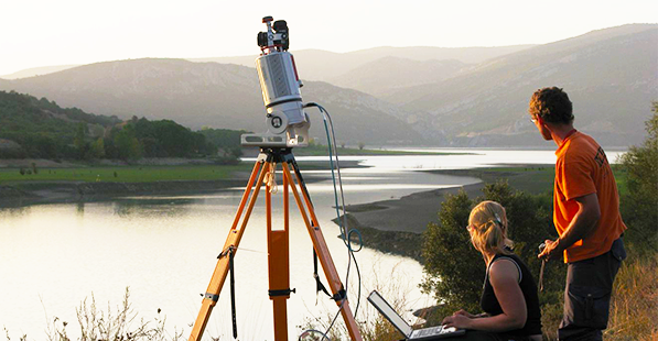
Terrestrial laser scanner Riegl VZ-400 surveying the Barasona Reservoir, Spain.
The Riegl VZ-400 terrestrial laser scanner is used to record terrain shapes and surface structures. With a range of up to 600 m, high-resolution scans with sub-centimeter accuracy can be generated at high speed, e.g. to record erosion balances and patterns or to quantify deposits.
Contact: