Environmental Observatory Lab
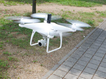
The Environmental Observatory Lab has several UAV/UAS (Unmanned Aircraft Systems) ranging from multi copters to fixed wing aircrafts, which serve as carrier platforms for a wide range of sensor systems (e.g., lidar, aerial imagery, multi- and hyperspectral cameras). These are used for drone-based environmental observation. For example, the sensors can acquire image data from high-resolution aerial imagery blended with IMU and dGNSS data for high position accuracy. Point clouds, textured polygonal models, georeferenced orthophotos, and DSMs/DTM are derived from the image data. Processing pipelines using a variety of custom codes are applied. The data acquired by the drones complement a wide range of remote sensing data, including multispectral satellite imagery and SAR data, which are analyzed at the department.
Using full-frame cameras mounted on stereo- and quad-camera rigs are used to create 3D models (point clouds and meshes). Specific setups with elevated tripods, poles, and scaling markers allow the generation of virtual outcrops. The 3D models are segmented and classified in further analysis steps.
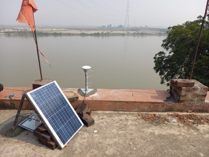
The Environmental Observatory Lab also uses various GNSS systems for differential position measurements, subsurface soil-moisture measurements, and determination of water-wapour amount in the atmosphere. In an additional application, GNSS reflectometry is used to measure water heights. The research group operates several GNSS stations on the Campus Golm in a test array and worldwide in Nepal, India, and Argentina.
The instruments are used during field work to measure changes on the Earth's surface, including natural disasters such as landslides, slope erosion, but also to better quantify biomass changes. They are deployed in project areas in the Andes, Himalaya, Namibia, Tanzania, and Brandenburg.
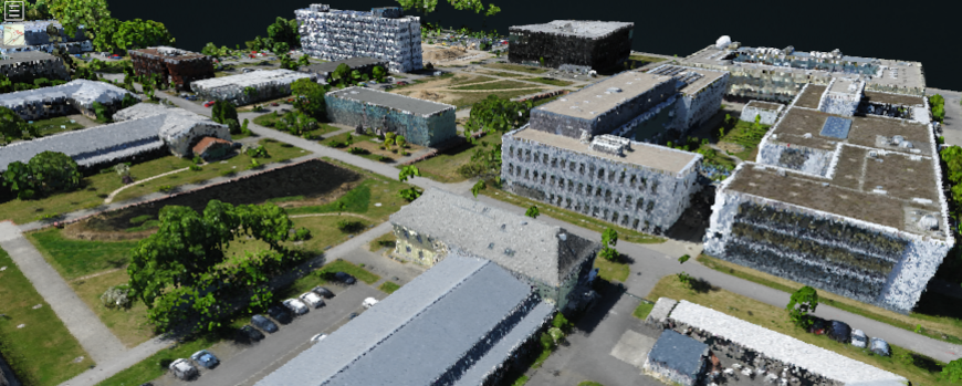
- The link leads to a browser-based interactive visualization of the point cloud of the Golm campus shown below as an image.


