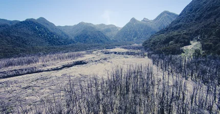
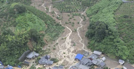
We aim at understanding, detecting, and modelling the coupled or cascading hazards including landslides, hillslope debris flows, flash floods, and channelized debris flows in the Tropics.
Landsliding by Biomass Surcharge and Wind Disturbance in Patagonian Rainforests (RETROGRESS)
We are investigating the influence of biomass surcharge and wind exposure as trigger mechanism for landsliding in Coastal Rainforest of Patagonia (Chile).
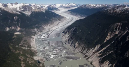
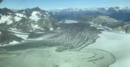
Glaciers, lakes, and outburst floods: Changing hazards in the NW Pacific Coastal Mountains (REACT)
We are investigating how climate change is affecting glacier melt and associated natural hazards in the coastal mountains in NW North America (Alaska and British Columbia).
We leverage a global catalog of large landslides compiled from openly accessible modern inventories to predict and explore the the legacy of large landslides and their interaction a changing world.
Ecogeomorphology under disturbance
What are the geomorphic impacts and the effects of volcanic eruptions on the terrestrial organic carbon cycle? We explore these and other questions using remote sensing data, field work, and modeling.
Dendroecology
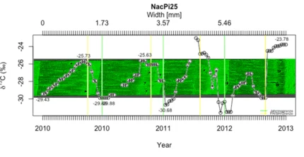
How do trees respond to natural disturbances? In collaboration with the GFZ, we explore tree growth responses to disturbances, such as earthquakes, using stable isotopes and wood micro wood anatomy.
Earthquake Hydrology
Why and how do some streams respond to earthquakes while other don’t? In order to explore seismo-hydrological process responses to earthquakes, we develop and apply physics-based models.
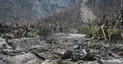
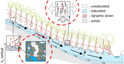
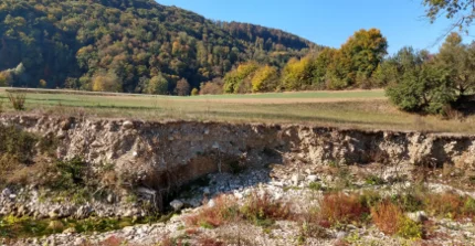
Geophysical investigations of debris flows in SW-Germany
We use near-surface geophysics and geomorphology tools to assess the susceptibility of small catchments to debris flows in the surroundings of Braunsbach, Germany.
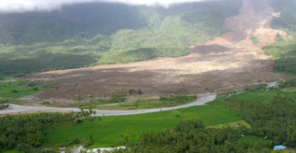
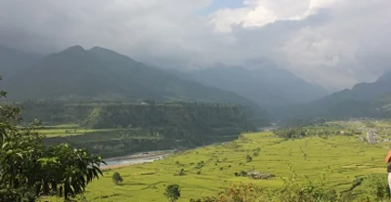
Evolving risks from Himalayan glacial lake outburst floods
We numerically model the 2012 glacial lake outburst flood in the Seti River, Pokhara, with standard step methods. We use such simulations for future GLOF scenarios and hazard assessment.
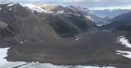
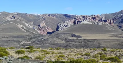
The role of mass wasting in glacial forelands of the Andes
We explore the deposition of large landslide in the low-gradient glacial foreland of Patagonia. We are trying to unravel timing and mechanisms with respect to the paraglacial landscape evolution.
We use machine learning and numerical modelling to understand how rainfall impacts the spatial pattern of landsliding and improve our ability to predict landslide hazard.
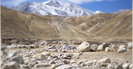
Hazard from Himalayan glacier lake outburst floods
We detect catastrophic outburst floods from moraine-dammed lakes in the Himalayas from satellite images. We estimate the frequency of GLOFs to quantify the regional GLOF hazard.