Dryland grasslands cover vast areas of our planet and support millions of people who depend on livestock for their livelihoods. Yet these ecosystems are highly vulnerable: droughts and heavy grazing can degrade the land, reduce forage for animals, and threaten the long-term health of rangelands.
A key challenge is understanding how much grazing pressure an area experiences. Most studies rely on simple measures like the distance to the nearest water source, but grazing behaviour is far more complex. Cattle move unpredictably, respond to changing vegetation, and are influenced by fencing, terrain, and management practices. As a result, grazing pressure can vary greatly even over short distances.
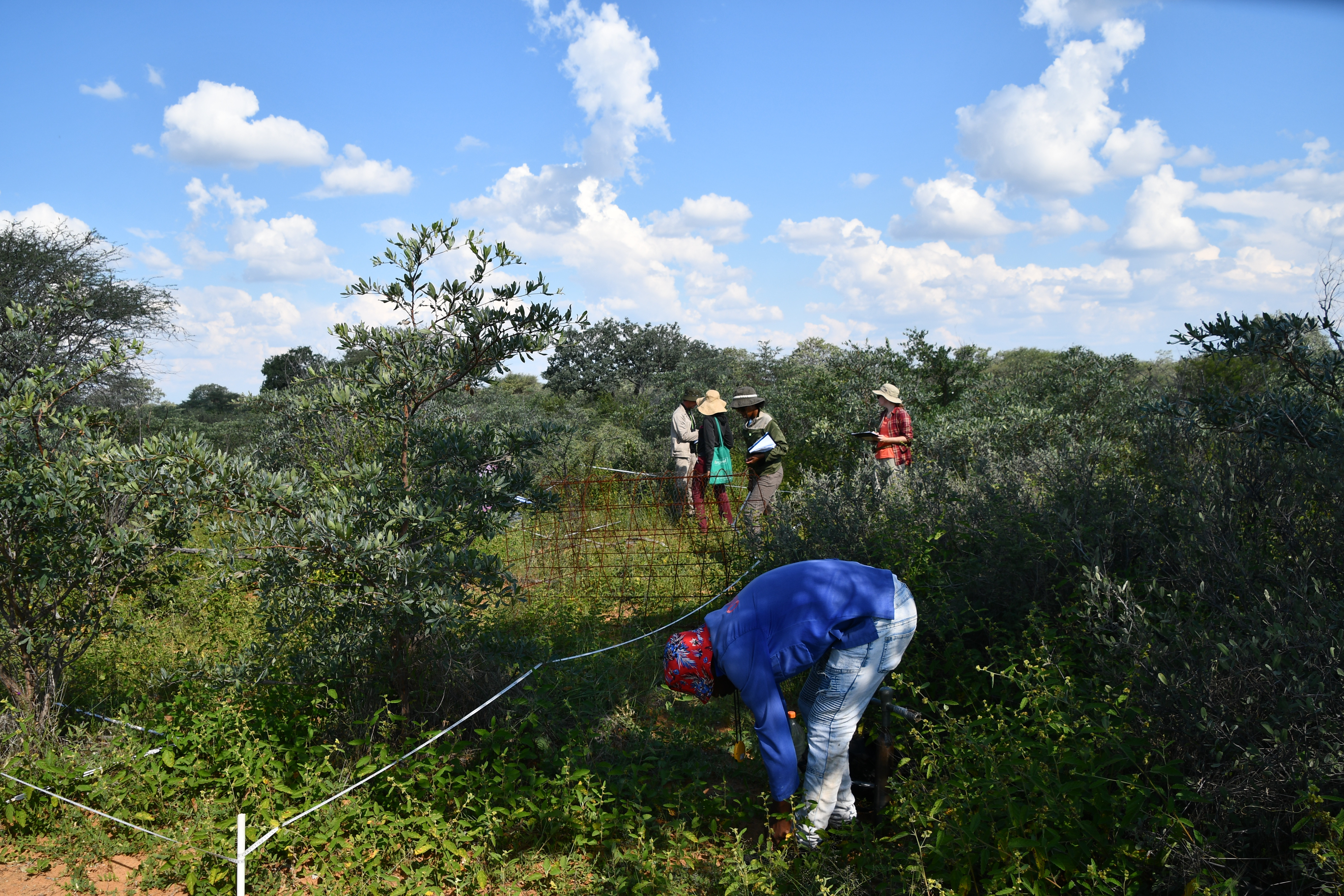
In our study, led by PhD student Lisa-Maricia Schwarz , we developed new composite grazing indices that combine several indicators of cattle activity – such as grazing intensity, plant material left behind, and distance-based measures. These indices were tested in Namibian rangelands managed under different land-tenure systems, as part of the NamTip project .
We found that the more detailed indices explained vegetation patterns – like bare soil, perennial grass cover, and plant diversity – better than traditional distance-based metrics. This was especially true for plant diversity, which showed clear responses to grazing pressure that distance alone could not capture.
Overall, our findings demonstrate that composite grazing indices offer a more precise and fine-scale representation of grazing pressure in semi-arid rangelands than commonly used distance-based metrics. These indices are particularly valuable for researchers seeking to quantify or approximate grazing impacts at the plot level, enabling more detailed investigations of vegetation dynamics and ecosystem responses to grazing.
For a deeper look at our methods and findings, the full open-access article ‘Multivariate grazing pressure indices improve prediction of semi-arid rangeland dynamics’ is available in Ecological Indicators.


Graphical summary showing how composite grazing indices integrate multiple indicators of cattle activity to quantify grazing pressure at fine spatial scales in semi-arid rangelands. The indices combine long- and short-term grazing metrics (e.g., distance measures, grazing offtake) to capture spatial variability more accurately than the common 'distance from water point' metric. The variables were combined into indices by using principal component regression. The explanatory power of the new grazing proxies for grazing sensitive variables, like bare soil, were tested via polynomial quantile regression. The illustration highlights the improved ability of the indices to explain vegetation responses in the two dominant Namibian rangeland tenure systems.
Photo credits for images shown below: Katrin Zimmer, Melissa Gurny, Florian Männer
-
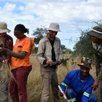
Team Veggie -

Fieldwork impressions -

Roaming cattle -
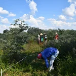
Fieldwork impressions