SEBAS: Sensing Biodiversity Across Scales
SEBAS is a project funded within the DFG Priority Programme 1374 „Biodiversity Exploratories“ (runtime: 03/2020-02/2023 and cost-neutral extented until 09/2025) investigating the effect of land-use on the biodiversity of grasslands. As an initiative to advance biodiversity and ecosystem functioning research in Germany, three large-scale and long-term research sites have been established as so-called “Biodiversity Exploratories” in the Biosphere Reserve Schorfheide-Chorin (Brandenburg), the National Park Hainich-Dün plus its surroundings (Thuringia) and the Biosphere Reserve Schwäbische Alb (Baden-Württemberg). Altogether these exploratories represent an open research and data exchange platform for comparative scientific studies along different land-use gradients.
Official website: biodiversity exploratories
Mission
-
Improve the mechanistic understanding of the effects of land use on the interplay between biodiversity – ecosystem functions – and ecosystem services
-
Analyze the relationships between functional and structural diversity and the ecosystem service of forage production, and their temporal variation for three spatial scales (plot, farm and landscape)
-
Combine plot-based ecological and remote sensing research on land use intensity and 5 Essential Biodiversity Variables (EBVs): Above Ground Biomass (AGB), Above Net Primary Productivity (ANPP), Leaf Area Index (LAI), plant phenology and functional diversity
We are participating in this project with providing the plot-based ecological research, combining non-destrucitve and destructive sampling methods, and relating land-use intensity to EBVs on different spatial scales.
-

Vegetation surveying and sampling in the Hainich-Dün National Park -

Unmanned aerial vehicle (UAV) collecting remote sensing data -

Non-destructive measurement of above ground biomass (AGB) with a Rising Plate Meter -

Vegetation surveying and plant sampling in sub-plots along a transect in the field site -

Hyperspectral reading of the vegetation canopy using a field spectrophotometer -

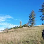
Grassland research site in the Hainich-Dün National Park -
Plot located on a hilly sheep pasture in the exploratory Schwäbische Alb -
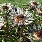
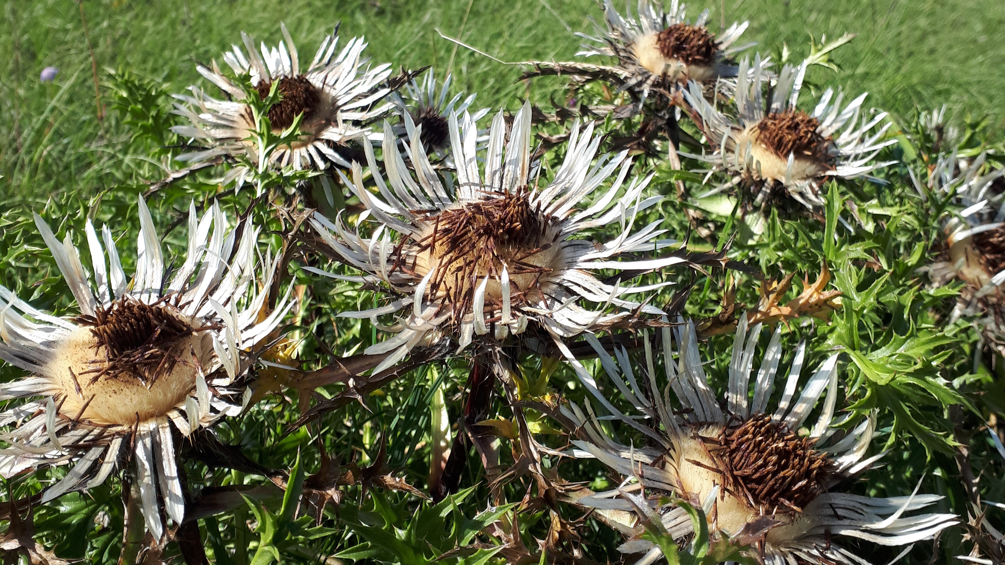
Carlina aucaulis growing on a pasture in the exploratory Schwäbische Alb


SEBAS – Ecological Research
Relating land-use intensity to EBVs on different spatial scales
Aims | In addition to providing structured plot-level ecological data, we want to explore direct and indirect effects of land-use intensity on the supply and temporal stability of forage production on different spatial scales. |
Approach | We use various non-destructive and destructive methods of field data collection to quantify ground cover, grazing pressure, above ground biomass (AGB), leaf area index (LAI), leaf traits, forage quality, phenology, and plant diversity. The direct and indirect effects of land-use and climate will be formalized through a social-ecological systems approach, and direct and indirect (biodiversity-mediated) effects will be quantified via structural equation modeling. |
Expected Outcome | Land-use effects on the biodiversity – ecosystem functions – and ecosystem services relationship will vary across spatial scales; with functional and structural diversity playing a critical role for the supply and temporal stability of ecosystem services. |
Persons involved
| PI PhD |
Cooperation partners | Center for Remote Sensing of Land Surfaces, University of Bonn, Germany Institute of Crop Science and Resource Conservation, University of Bonn, Germany |