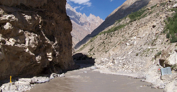
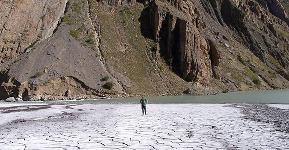
The rivers in the Himalayas transport one billion tons of sediments annually from the mountains to the Indian Ocean. Important components in this transport system are mountain valleys, which can act as temporary reservoirs for these sediments. This complicates the reconstruction of climatic and tectonic signals from, for example, ocean basin cores. The amount of sediment stored in the valleys can be related to the width of the valleys. An international team of researchers with participation of the Research Focus “Earth and Environmental Systems” has published a study on this in “Nature Geoscience”, in which the factors that are decisive for the width of the valleys are examined.
Two conceptually different processes of valley floor widening were considered. First, rivers can erode the bedrock on the valley flanks, and second, sediment deposition can widen the valley floor. Using 1.5 million measurements of valley widths along the entire Himalaya, tectonic uplift was identified as the dominant factor. Contrary to earlier ideas, the amount of runoff and the erodibility of the rock have a subordinate influence. Accordingly, wide valleys are formed preferentially by sediment deposition in regions with low tectonic uplift and less steep longitudinal river profiles.
“This study shows how the geosciences are moving into the realm of Big Data,” says Prof. van der Beek, one of the study's co-authors. “We can now ask different questions because we have access to thousands or millions of data points, whereas before we only had dozens. This also requires the development of new tools to interrogate this data.”
Link to Publication: Clubb, F.J., Mudd, S.M., Schildgen, T.F., van der Beek, P.A., Devrani, R. & Sinclair, H.D., Himalayan valley-floor widths controlled by tectonically driven exhumation. Nat. Geosci. 16, 739–746 (2023). https://doi.org/10.1038/s41561-023-01238-8


