JavaScript ist in ihrem Browser deaktiviert. Bitte aktivieren Sie JavaScript um alle Funktionen der Website nutzen zu können!
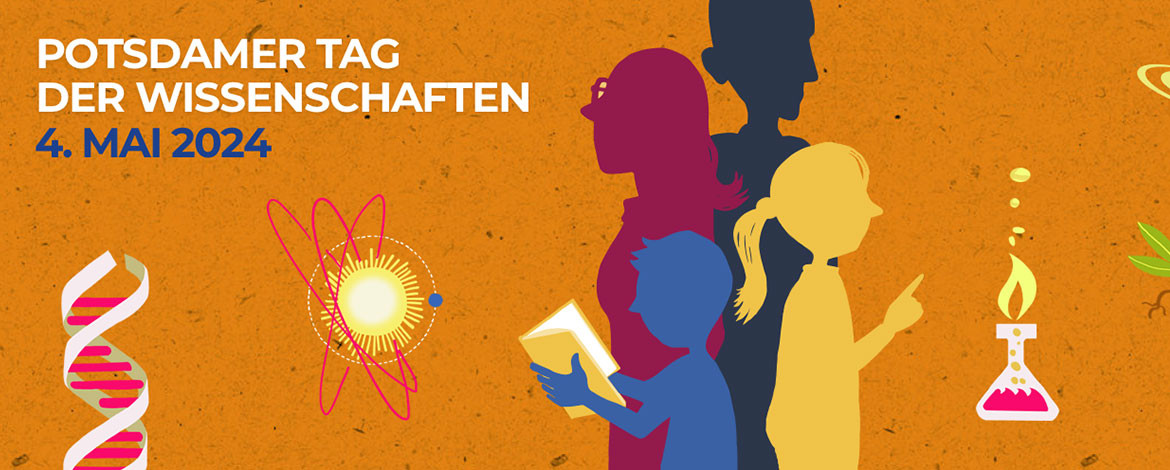
Die Uni präsentiert sich am 4. Mai beim Potsdamer Tag der Wissenschaften auf dem Telegrafenberg | Foto: Regina Kehn, proWissen e.V.
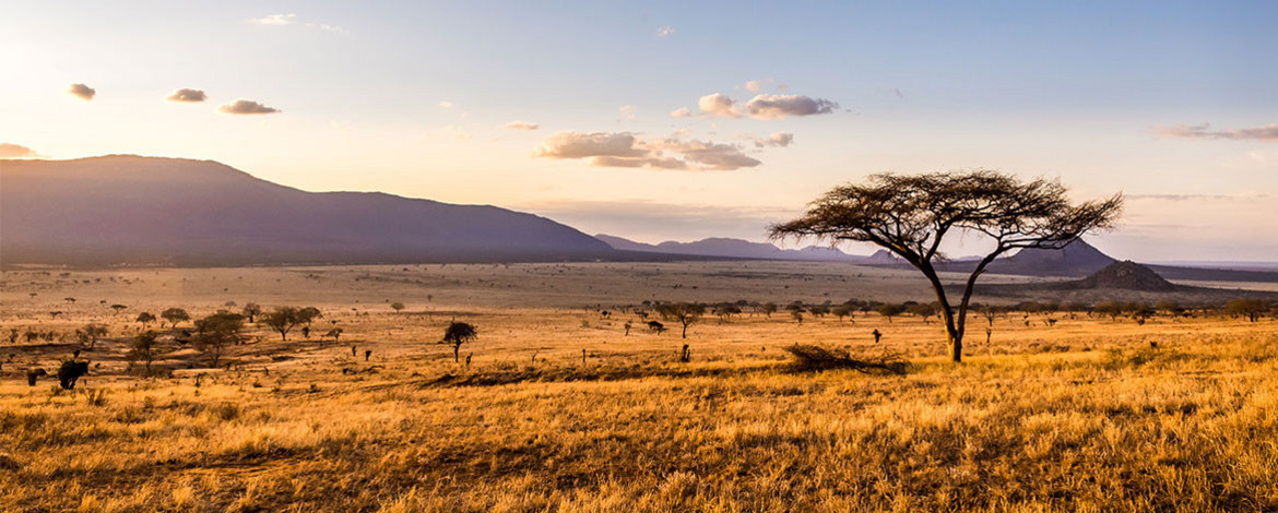
Warum die europäische Kolonisierung den Blaubock zum Aussterben brachte | Foto: AdobeStock/Maciej Czekajewski
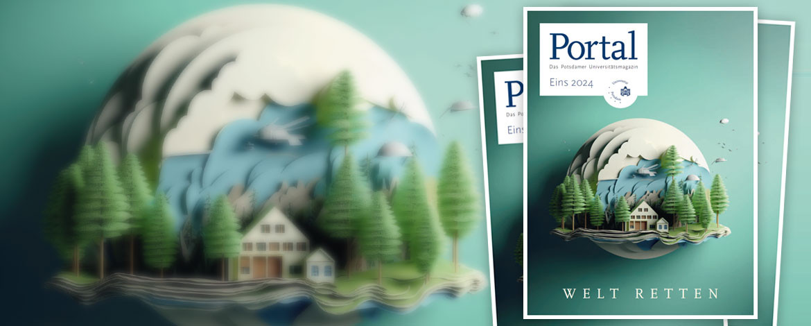
„Welt retten“ ist das Titelthema der neuen Ausgabe des Universitätsmagazins | Foto: PÖ
Die Universität Potsdam in den Medien – eine Übersicht
Beratungsangebote für Hochschulangehörige im Kontext Diskriminierung und angrenzenden Themenfeldern, wie z. B. Belästigung, Mobbing oder Stalking.
Informationen zum Bewerbungsverfahren für das Wintersemester 2024/2025 | Foto: M. Friel
Warum Konsumverzicht nachhaltig ist und glücklich macht | Foto: K. Fritze
Andreas Zimmermann wirkt bei einem Gutachtenverfahren am Internationalen Gerichtshof mit | Foto: S. Scholz
„… die Open- Science-Infrastrukturen von morgen schon heute verfügbar machen“ – Dr. Peter Kostädt, Chief Information Officer (CIO) der UP | Foto: K. Ryl
Dr. Ferenc Liebig von Potsdam Transfer erklärt im Interview, wie Wirtschaft und Innovationen aus der Wissenschaft zueinander finden. | Foto: K-UTEC AG
Partnerkreis Industrie und Wirtschaft präsentiert Studie des Lehrstuhls für Marketing | Foto: K. Fritze
Bücher aus den Jahren 1775 bis 1931 werden systematisch auf eine mögliche Arsenbelastung geprüft | Foto: K. Fritze
Die Universität Potsdam begrüßt ihre neuen Professorinnen und Professoren. Einer von ihnen ist Philip Peter. | Foto: S. Pauly
Prof. van der Beek wird Präsident der European Geosciences Union | Foto: K. Ryl
Neue Wohnanlage des Studentenwerks entsteht auf dem Campus Golm | Foto: Studentenwerk Potsdam