Urban flash floods
Towards parsimonious hazard assessment for urban flash floods
Project promoter:
DAAD (Deutscher Akademischer Austauschdienst)
Duration:
2019 - 2023
Project description:
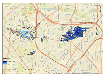
The occurrence of urban pluvial floods depends on the existence of minimal areas for surface runoff generation and concentration. Detailed hydrologic and hydrodynamic simulations are computationally expensive and require intensive resources. Therefore, simplified approaches based on the
topographic depressions, topographic indices, and data-driven models could be reliable
alternatives to the traditional hydrologic and hydrodynamic approach. The project is divided into three studies to map urban pluvial flood prone areas:
1- Efficient Hazard Assessment for Pluvial Floods in Urban Environments: A Benchmarking Case Study for the City of Berlin, Germany
2- Towards urban flood susceptibility mapping using data-driven models in Berlin, Germany (under review).
3- Predicting urban pluvial flood water depth using data-driven models in Berlin, Germany (in progress)