Remote Sensing (RS)
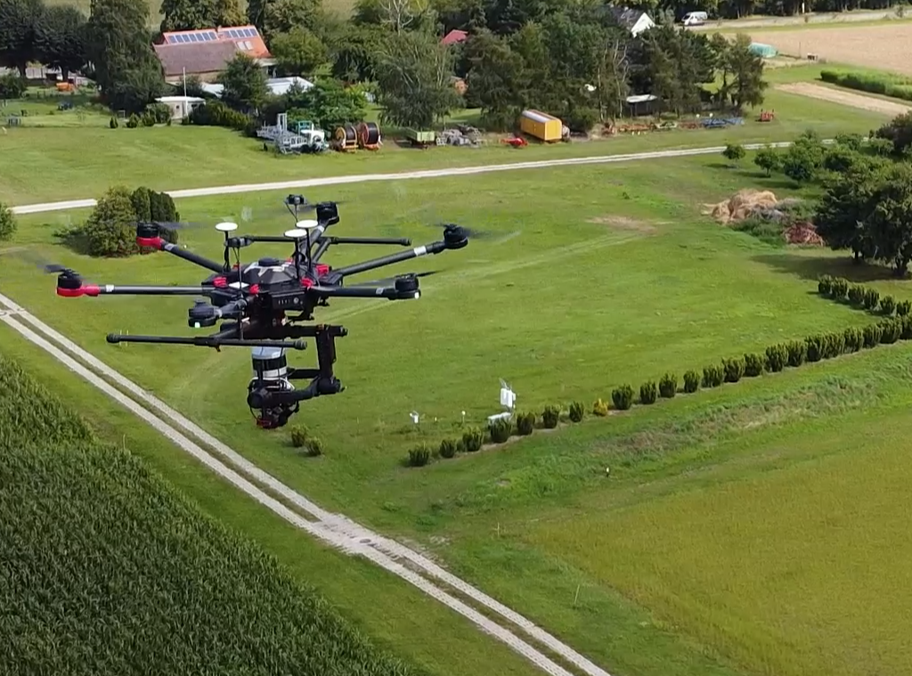
With the launch of the Sentinel-Family it will be possible to obtain Synthetic Aperture Radar (SAR) and optimal remote sensing data for soil moisture content (SMC) retrieval at the field scale (<100m) covering global areas. The aim of the Remote Sensing (RS) project is to understand the process-based relationships between the integral spatial recording of SMC derived by Cosmic-Ray Neutron Sensing (CRNS) and the mainly surface-based prediction of the SMC with remote sensing detectors.
The group analyses the process-based relationships between the integral spatial recording of SMC derived by CRNS and the mainly surface-based prediction of the SMC with remote sensing detectors.