

FloDeMec introduces itself
FloDeMEc is a project funded by the German Research Foundation (DFG). The full title is "Hydraulically and ecologically defined floodplain boundaries as a basis for the development of an integrated approach to quantifying ecosystem services in floodplains at the landscape level". And because that is too long and bulky, FloDeMEc is derived from the english title "Floodplain boundary definition and method Development of Modeling their Ecosystem services". And that is exactly what this project is about: To find out which floodplain boundaries are useful for modeling floodplain ecosystem services and then to develop a method to model the various ecosystem services.
Brief overview
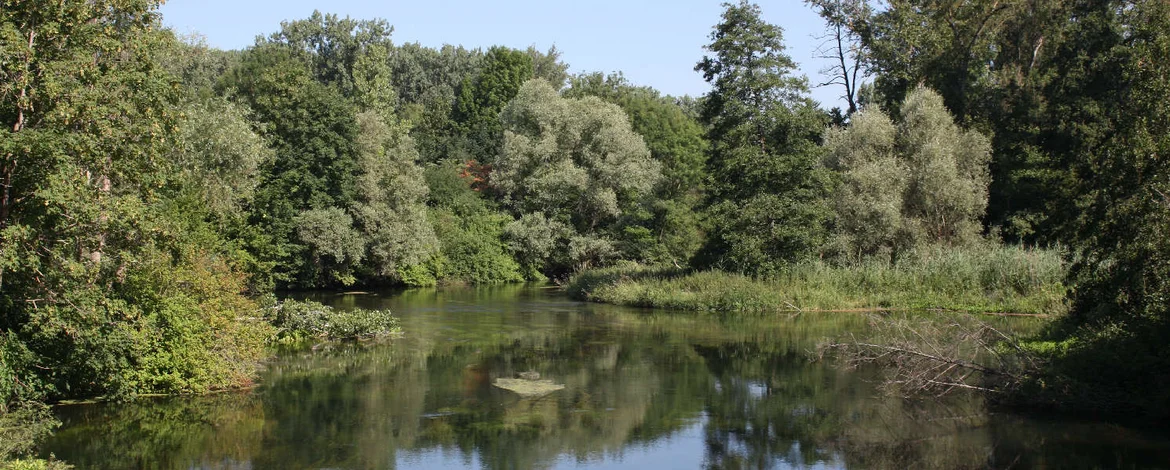
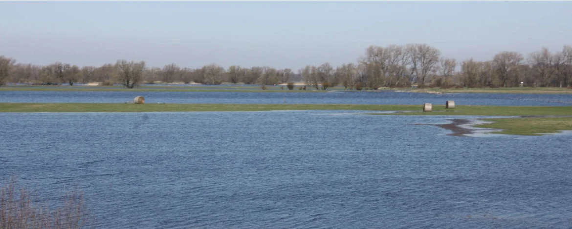
Floodplains are the areas next to rivers that flood more or less frequently depending on the height of the landscape and water level of the river and thus offer a diverse habitat in a small area. Alluvial areas are ecologically valuable, but they are also severely threatened and only exist in fractions of their original size. We humans use floodplains and rivers intensively for agricultural purposes, live there and spend our free time there. Naturally floodplains provide areas that reduce flood waves and retain nutrients. Because different floods inundate different areas with different frequency and length of time, it is difficult to determine the actual area of a floodplain, especially when examining different ecosystem services. And that is exactly what is done in FloDeMEc: For which floodplain boundaries of which ecosystem services an investigation makes sense and which methods need to be developed in order to evaluate the different ecosystem services?